
ไฟล์:Mediterranean Sea political map-blank.svg

ขนาดของตัวอย่าง PNG นี้ของไฟล์ SVG นี้: 800 × 585 พิกเซล ความละเอียดอื่น: 320 × 234 พิกเซล | 640 × 468 พิกเซล | 1,024 × 749 พิกเซล | 1,280 × 936 พิกเซล | 2,560 × 1,872 พิกเซล | 2,046 × 1,496 พิกเซล
ดูภาพที่มีความละเอียดสูงกว่า ((ไฟล์ SVG, 2,046 × 1,496 พิกเซล, ขนาดไฟล์: 1.06 เมกะไบต์))
| รูปภาพหรือไฟล์เสียงนี้ ต้นฉบับอยู่ที่ คอมมอนส์ รายละเอียดด้านล่าง เป็นข้อความที่แสดงผลจาก ไฟล์ต้นฉบับในคอมมอนส์
|
ความย่อ
| คำอธิบาย |
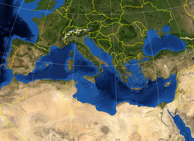
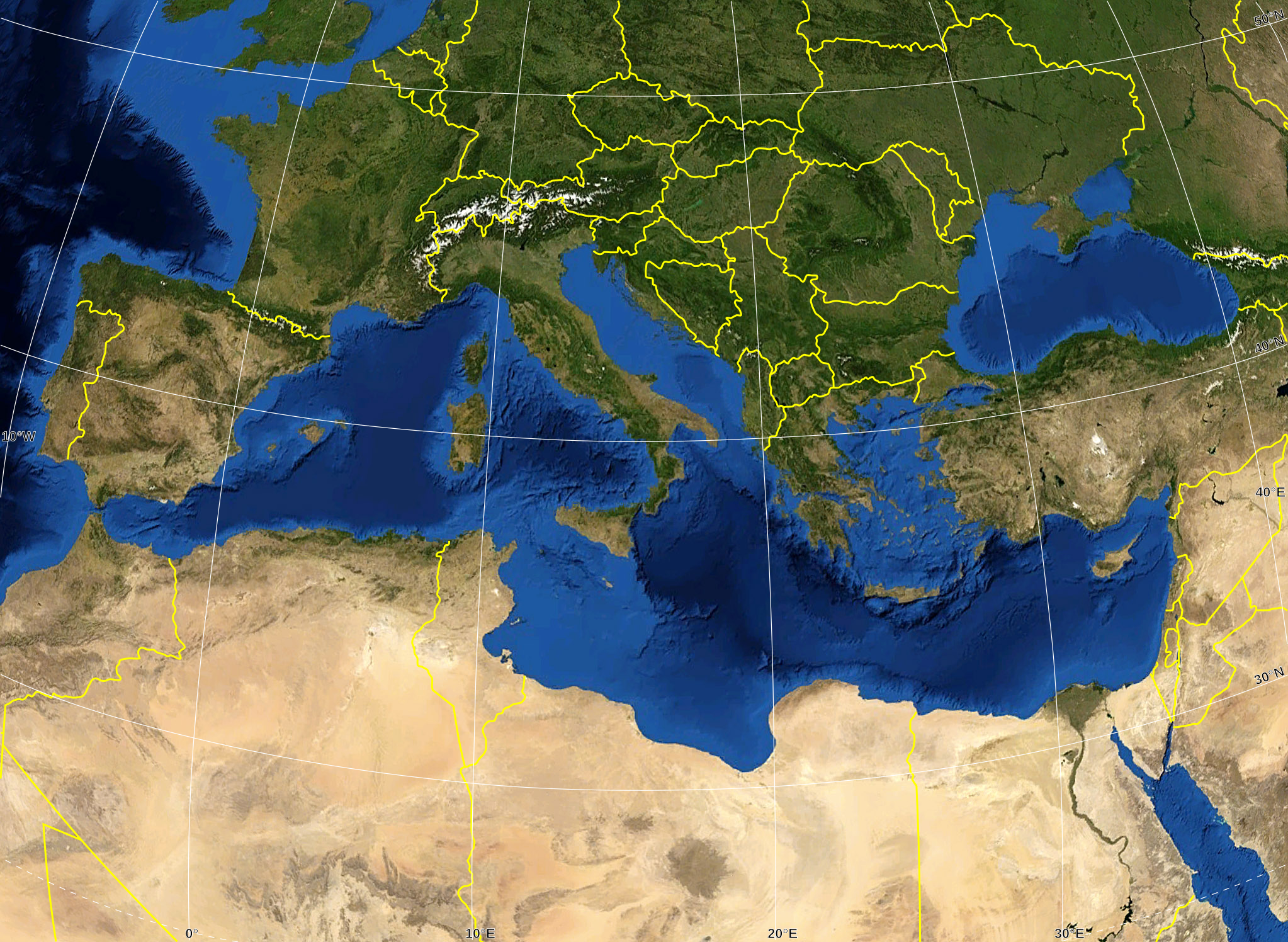
English: Blank map of the Mediterranean Sea, with the State borders.
Français : Carte vierge de la Mer Méditerranée avec les frontières nationales. |
| วันที่ | |
| แหล่งที่มา |
Own work ; Raster background map : screenshot from NASA World Wind (Public Domain) |
| ผู้สร้างสรรค์ | Eric Gaba (Sting - fr:Sting) |
| การอนุญาต (การใช้ไฟล์นี้ใหม่) |
All rights released |
| เวอร์ชันอื่น |
ไฟล์อื่นที่ใช้ไฟล์นี้: Delian League Campaign Map.png
|


การอนุญาตใช้สิทธิ
| This image is in the public domain because it is a screenshot from NASA’s globe software World Wind using a public domain layer, such as Blue Marble, MODIS, Landsat, SRTM, USGS or GLOBE.
|
 |
| This work was previously under Public Domain, or a Free License. It has been digitally enhanced and/or modified. This derivative work has been (or is hereby) released into the public domain by its author, Sting at the French Wikipedia project. This applies worldwide. In some countries this is not legally possible; if so:
|
ประวัติไฟล์
คลิกวันที่/เวลาเพื่อดูไฟล์ที่ปรากฏในขณะนั้น
| วันที่/เวลา | รูปย่อ | ขนาด | ผู้ใช้ | ความเห็น | |
|---|---|---|---|---|---|
| ปัจจุบัน | 23:14, 19 พฤษภาคม 2551 | | 2,046 × 1,496 (1.06 เมกะไบต์) | Sting | "Tropic of Cancer" label correction |
| 08:07, 21 มิถุนายน 2550 |  | 2,046 × 1,496 (1.06 เมกะไบต์) | Sting | {{Information |Description=Blank map of the Mediterranean Sea, with the State borders. |Source=Own work ;<br/>Background map : screenshot from NASA World Wind (Public Domain) |Date=June 2007 |Author=Eric Gaba ([[User:Sting|Sting] |
หน้าที่มีภาพนี้
ไม่มีหน้าใดโยงมาที่ภาพนี้
การใช้ไฟล์ข้ามโครงการ
วิกิอื่นต่อไปนี้ใช้ไฟล์นี้:
- การใช้บน ar.wikipedia.org
- การใช้บน fr.wikipedia.org
- การใช้บน gv.wikipedia.org
- การใช้บน id.wikipedia.org
- การใช้บน pl.wiktionary.org